North Fork Licking River Fishing Spot
- Elevation: 985'
- Last Modified By: vinny60 on 09/09/09 01:45 PM
- Ask about North Fork Licking River in our Fishing Forums
Photos
Fish Species
Comments
-
Have you fished at North Fork Licking River? Be the first to comment on this fishing spot.
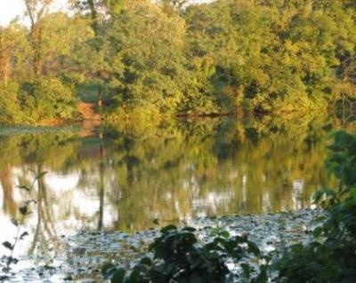
North Fork Licking River Description
The Licking River is a tributary of the Ohio River, approximately 320 miles long in northeastern Kentucky in the United States. The river and its tributaries drain much of the region of northeastern Kentucky between the watersheds of the Kentucky River to the west and the Big Sandy River to the east. It rises in the Cumberland Plateau of eastern Kentucky, in southeastern Magoffin County. It flows northwest in a highly meandering course past Salyersville and West Liberty. In Rowan County in the Daniel Boone National Forest it is impounded to form the large Cave Run Lake reservoir. Northwest of the reservoir it receives Fleming Creek approximately 8 mi Northwest of Carlisle and flows across the Bluegrass region of northern Kentucky. It receives the North Fork from the east approximately 10 miles Northwest of Mount Olivet and the South Fork from the south at Falmouth.